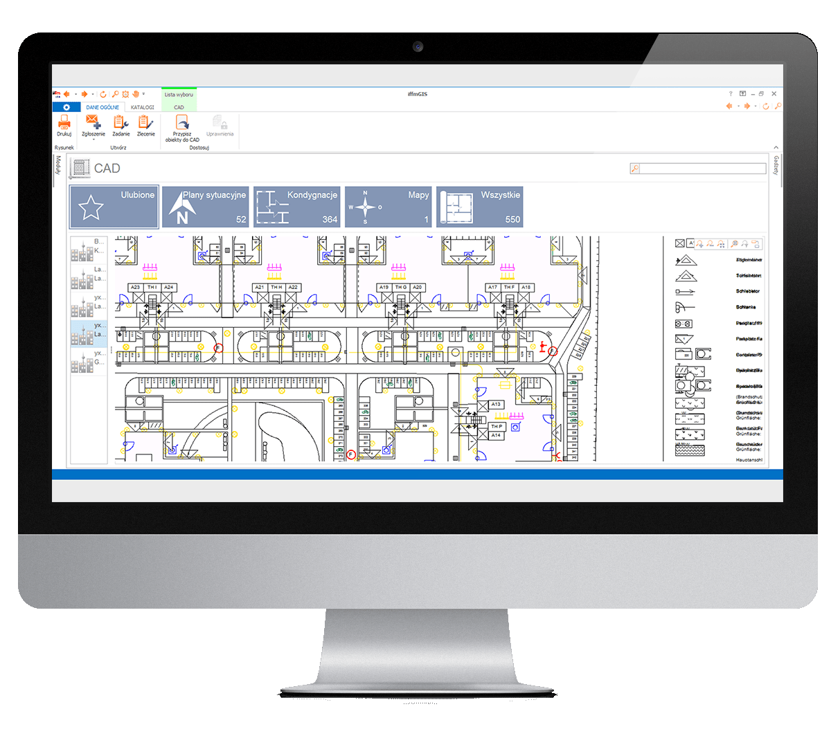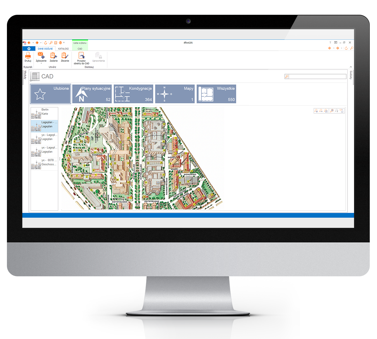
Hierarchical structure of graphic plans in CAD technology allows one to execute, at a desired level of detail, management processes related to the whole property or its parts, including both: buildings and open spaces: parking lots, green areas, roads. The level of detail ranges from the set of properties to an individual piece of equipment. Linkage of data with their graphical vector representation, means that selection of the graphical object opens text or numerical information from the data base.
For the real properties composed of numerous buildings, CAD of the iffmGIS may graphically distinguish objects of different features: ownership, use, tenant, cost centres etc.
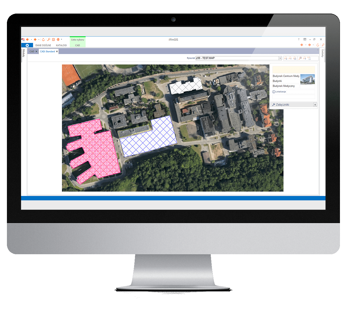
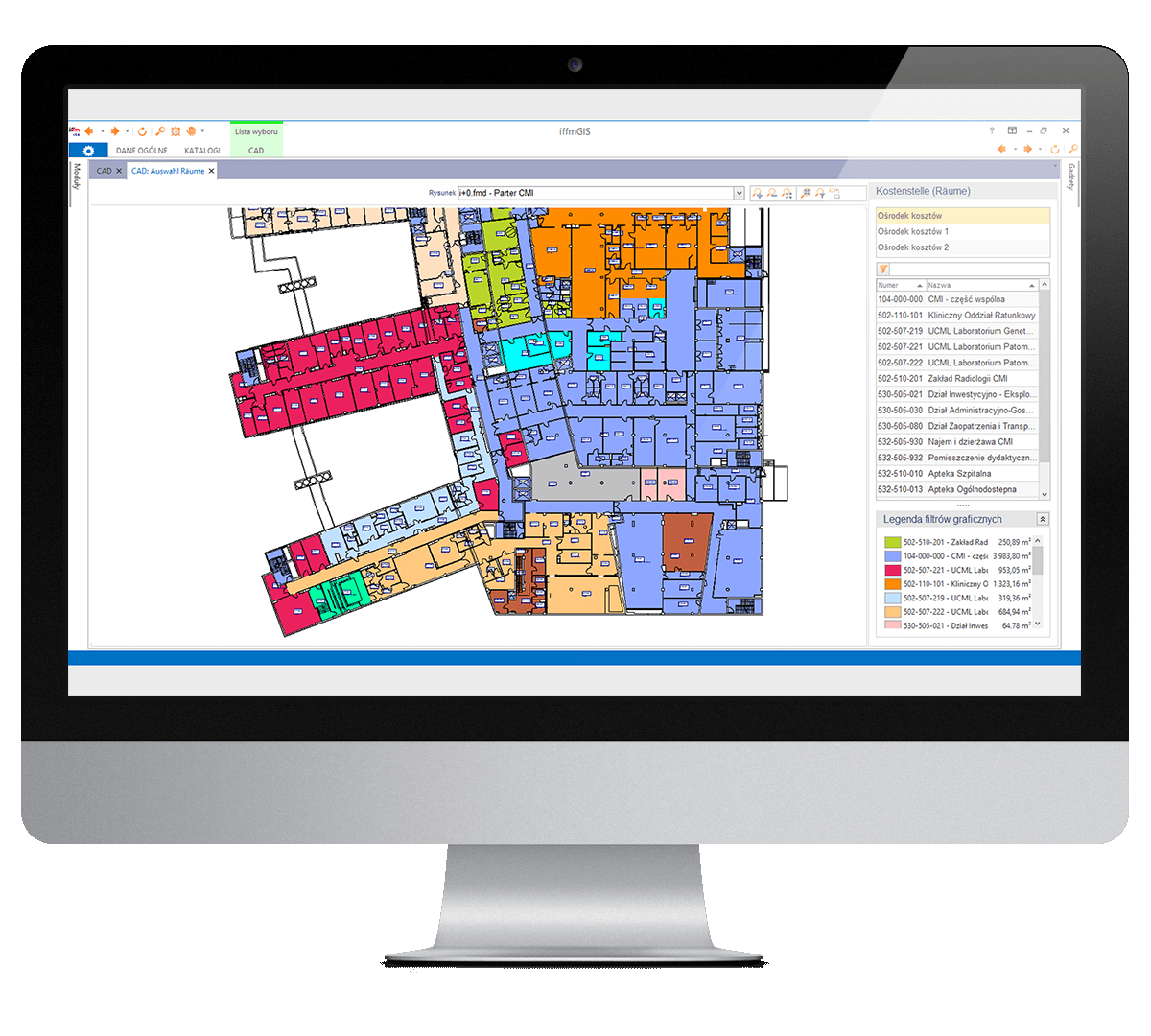
Linkage of textual and numerical data and attributes with vector representation of floor plans, infrastructure networks and items, as well as pieces of equipment a is a very useful feature. It gives the user a possibility to graphically distinguish with colour various use modes, cost centres, supply zones, cleaning circuits of different maintenance standards.
CAD module of the iffmGIS supports any level of drawing detail in different drawing layers of architecture, technical infrastructure, equipment, fixtures and fit-out. Any object in the drawings becomes and object in the data base with its attributes and characteristics and linked information on e.g. terms of acquisition, exploitation events.